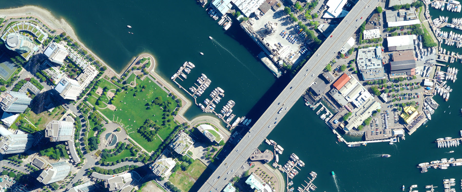

GEOSYS specializes in providing and updating the core information
required in any GIS and geospatial information applications.
It employs state-of-the-art photogrammetric and digital image processing technology,
which allows extraction of map information from air/space-borne imagery
for use in Engineering and GIS applications.
Using remotely sensed data, and specialized equipment, GEOSYS provides
geospatial data for use in a host of applications. GEOSYS employs a
group of talented staff of geospatial experts specializing in aerial-photo scanning,
aerial triangulation, orthophoto production, 3-dimensional feature extraction,
image classification, cartographic map finishing and GIS data integration.